Initiated and fully funded by Athachi Group, a comprehensive exploratory study on the Palakkad Gap, Western Ghats, India, was carried out by the Department of Geography, Government College, Chittur.
The following is a summary presenting the key findings of the study, covering the Gap’s geological antiquity, spatial extent, geomorphology, soil science, floristic diversity, and agricultural significance. The findings challenge long-held assumptions and make a compelling case for the Gap’s recognition as India’s next major geoheritage site.
Older than the Western Ghats
Located between Coimbatore district of Tamil Nadu and Palakkad district of Kerala, Palakkad Gap was believed to be a low-lying mountain pass in the Western Ghats. This research has revealed that the Gap is much older than the Western Ghats themselves, making it an important feature for understanding the deep geological history of southern India.
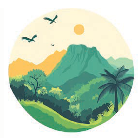
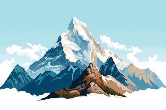
Palakkad Gap
2,100to540
Million Years
Western Ghats
99to65
Million Years
Himalayan Range
50to20
Million Years
Spread over a much larger space
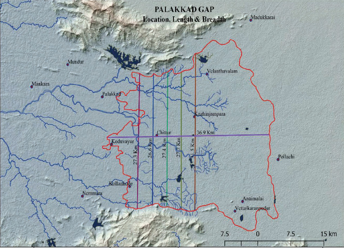
The Gap was previously believed to stretch over a length of only 41 kilometres between Coimbatore and Palakkad. The comprehensive research has now precisely delineated the spatial spread to be 979.81 sq.km - a dramatically larger area than previously understood, equally spread across Kerala and Tamil Nadu.
Geological events behind the formation of the Western Ghats
The formation of the Western Ghats was influenced by several geological events such as rifting, volcanic eruptions, slope recession, erosion, landward retreat of the coastline, and the rising or sinking of the Earth in response to topographic load.
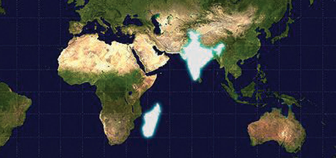
Around 66 million years ago, hot molten magma rose from the Earth’s interior near the present-day Réunion Islands, which led to major volcanic activity and contributed to the separation of the Seychelles, an island group northeast of Madagascar, from India.
Geological history and formation of Palakkad Gap
- Although the Western Ghats formed through relatively younger geological events, the Palakkad Gap has a much older origin. Its geological history dates back to ancient continent-building events that occurred between 2500 and 1600 million years ago.
- The Gap formed along a suture zone, a linear belt of intense deformation where two distinct land masses joined together: the Dharwar Craton to the north and the Southern Granulite Terrain to the south.
- The rocks in this region provide important evidence for its ancient origin, as they underwent major changes under high temperatures of about 760–800°C and high pressures of around 7.1–8.4 kbar. The last phase of crystallization in these rocks occurred around 777 ± 18 million years ago.
Tracing the geological bond between India and Madagascar
- The Palakkad Gap holds an important geological key to understanding the ancient connection between India and Madagascar, two landmasses that are now separated by the Indian Ocean but were once joined as part of the supercontinent Gondwana.
- This connection has been established by comparing rocks found within intracontinental shear zones, where rocks are highly strained and deformed. The continuation of the Palghat-Cauvery Shear Zone in southern India can be traced to the Betsimisaraka continental collision zone of eastern Madagascar.
- Geochemical and petrographic studies of rocks from the Palakkad Gap suggest that they formed during the closing of the Mozambique Ocean and the assembly of the Gondwana supercontinent, between 2100 and 540 million years ago
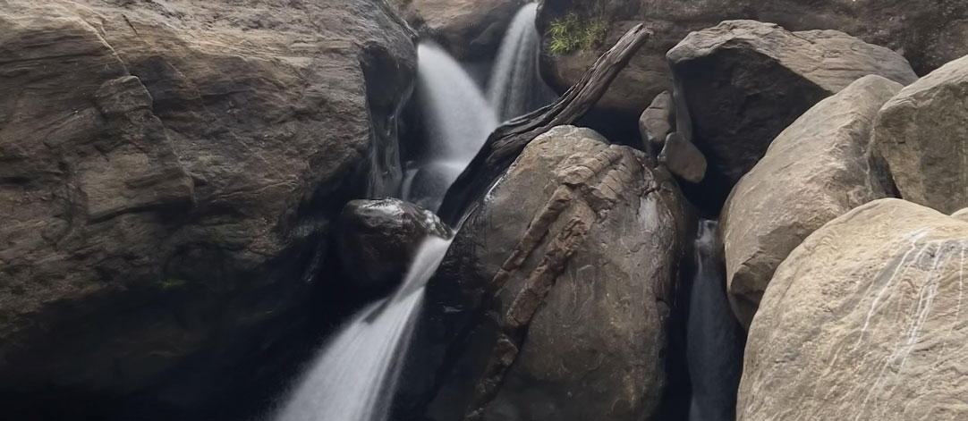
The Palakkad Gap is also home to Charnockite rocks, one of the earliest known rock formations on Earth. Recognized as ‘Earth Heritage Rock’ by the International Union of Geological Sciences, these rocks hold significant historical and architectural value, extensively used in iconic monuments around the world.
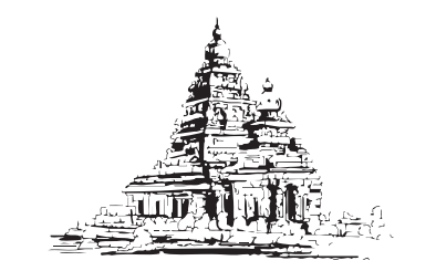
Temple
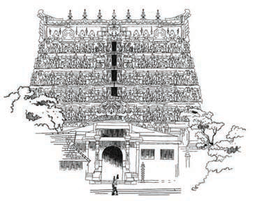
Temple
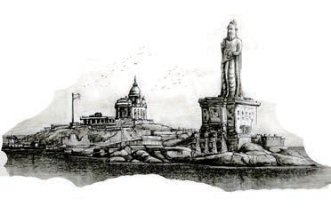
Memorial
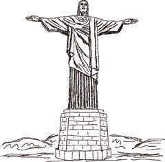
Statue, Brazil
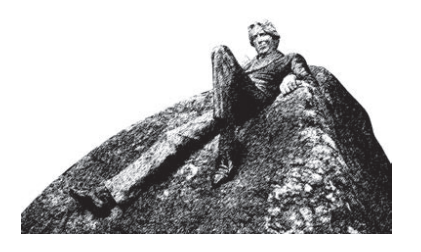
Statue, Dublin
"The rocks and forest know it real."
- Ralph Waldo Emerson
A micro-geomorphological marvel
- The Palakkad Gap is a distinct small-scale landform shaped by the long-term interaction of geology, climate, and tectonic activity. Its landscape reflects the combined influence of tectonic forces, erosional processes, and climatic conditions.
- The Gap is dominated by denudational landforms, where elevation has been reduced over time due to weathering and erosion. It also contains pediplains, which are extensive plains formed by the joining of several pediments.
- Fluvial processes, including erosion and deposition by water, have contributed to the formation of valley fills and floodplains. In addition, folds, faults, and rock layers influence the drainage systems and distribution of water resources in the region.
One of the oldest, richest soils in the World
One of the key features of this region is its high soil depth, which is greater than most parts of India, except for the alluvial soils of the North Indian plains, the black soils of the Deccan Plateau, and the Kari soils of Kuttanad. About 37.94%, covering 44,256 hectares, consists of moderately deep to deep soils, while 56.28%, covering 65,674 hectares, consists of deep to very deep soils.
The presence of the mineral gibbsite further suggests that the soil is very old and rich in micronutrients. This gives the region an outstanding soil nutrient status, making it one of the best areas in Kerala and Tamil Nadu for micronutrient-rich soil deposits. With abundant macro and micronutrients, the soil is ideal for agriculture and also calls for further research into its uniqueness.
Floristic diversity of the Gap
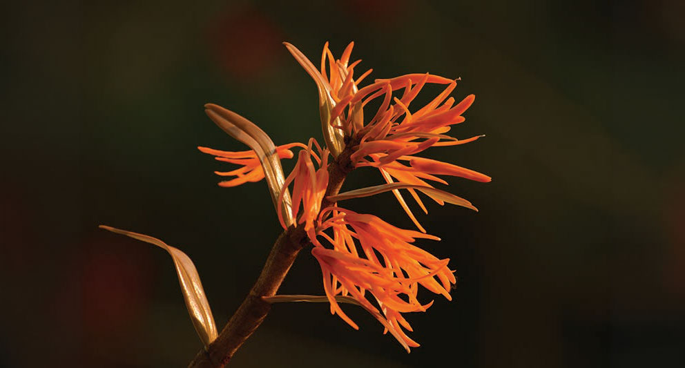
The Palakkad Gap is highly diverse in terms of flora and harbors many rare and endemic species. The presence of endemic species such as Pandanus palakkadensis highlights the ecological uniqueness of the Gap. The region supports 170 angiosperm species from 44 families and 101 genera, along with seven pteridophyte species from six families. Seasonal vegetation found in the hillocks further adds to this diversity, with about 89 plant species belonging to 39 families and 68 genera.
44 families · 101 genera
belonging to 6 families
39 families · 68 genera
A goldmine for crop diversity
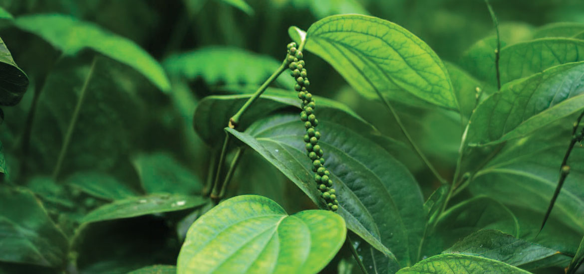
The fertile soil and unique microclimate make Palakkad Gap highly suitable for high-value agricultural produce beyond paddy cultivation. Large-scale cultivation of about 177 varieties of food and cash crops has been recorded in the region. Eruthempathy leads with the highest crop richness, while Vadakarapathy shows high agro-biodiversity. The fertile soil and microclimate also support 136 weed species belonging to 107 genera and 40 families, further reflecting the ecological richness of the Gap.
Emerging agricultural hotspots
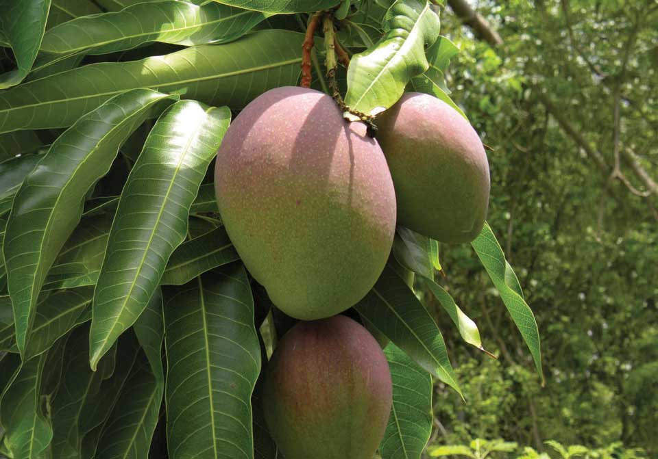
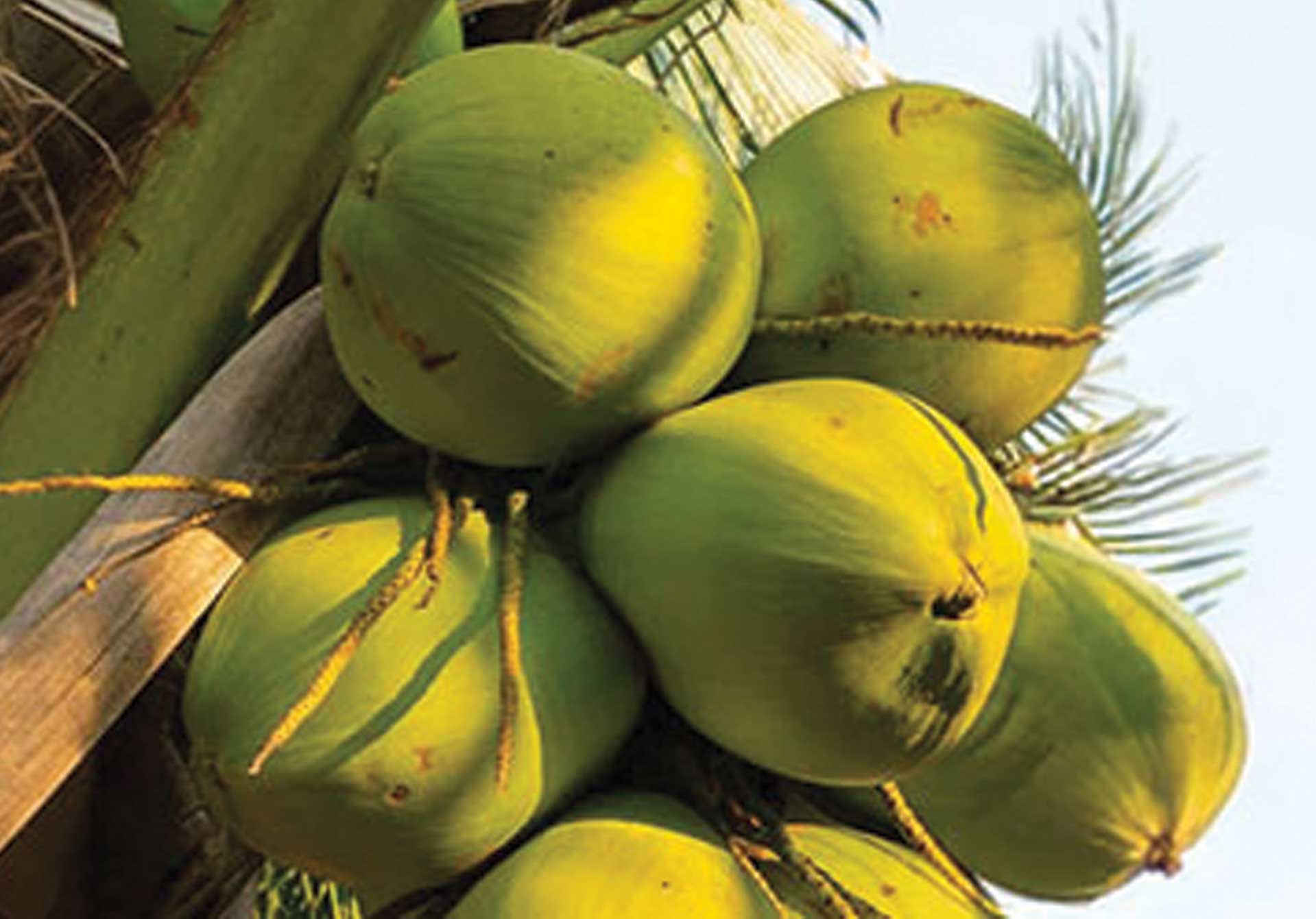
The southern part of the Palakkad Gap, especially Muthalamada, is fast emerging as the Mango Capital, particularly for Alphonso mango cultivation. Meanwhile, the central and eastern parts of the Gap, including Pollachi and Chittur, dominate coconut farming and record some of the highest coconut productivity in the region. Together, these areas show how the Palakkad Gap’s soil, climate, and landform conditions support exceptional agricultural diversity.
India has several recognized geoheritage sites, including Lonar Lake in Maharashtra and Silathoranam, the natural geological arch in the Tirumala Hills. These sites are valued for their rare geological features and their ability to reveal important chapters of Earth’s history. In the same way, the Palakkad Gap, with its ancient rocks, suture-zone origin, India–Madagascar connection, rich soils, and unique landforms, presents a strong case for geoheritage recognition.